The World Countries Challenge: Interactive Map Game
Quick Summary: The World Countries Challenge is a free, no-ads interactive geography game designed to help middle school, high school, and homeschool students master the global map. Featuring all 195 UN-recognized countries, this digital learning tool uses auto-zoom technology, interactive panning, and personalized score tracking to increase student engagement and geographical retention.
REGIONS OF THE WORLD MAP GAMES: Africa Map Game | North America & Caribbean Map Game | South America Map Game | Europe Map Game | Asia Map Game | Oceania Map Game | Latin America Map Game | Middle East Map Game | Central America & The Caribbean Map Game
Introducing World Countries Map Game
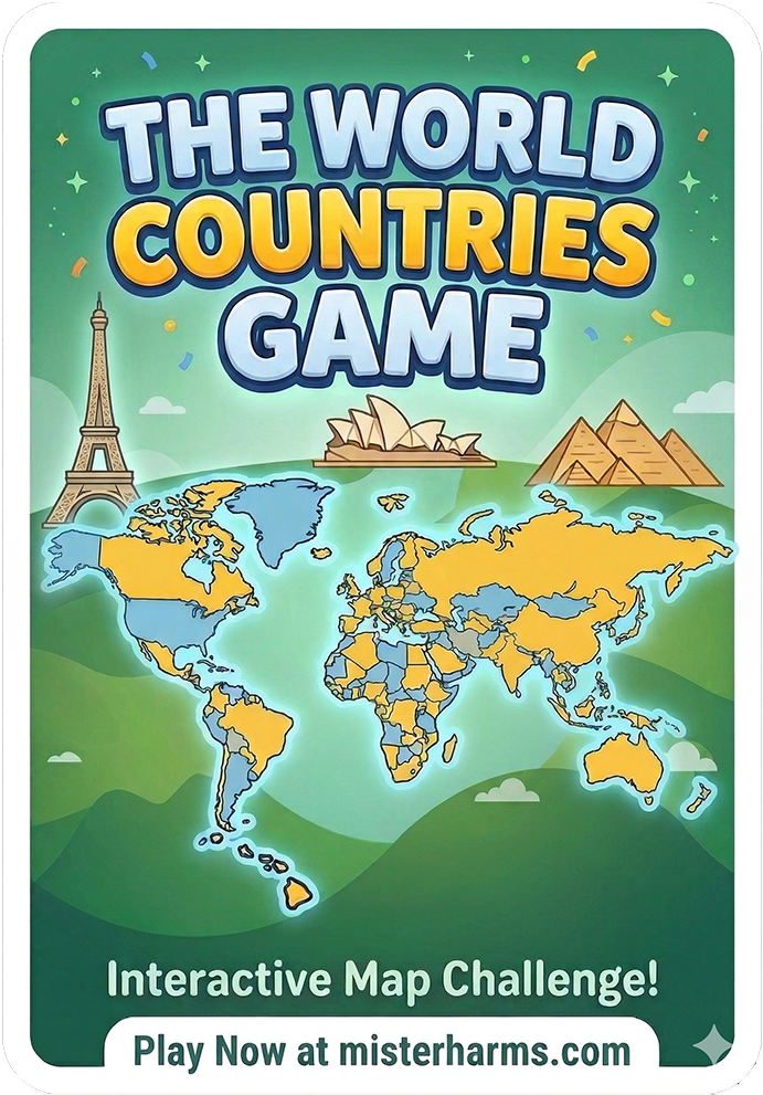
Learning world geography doesn't have to mean squinting at a textbook or memorizing static lists. The World Countries Challenge is a dynamic, interactive map game designed specifically for middle school, high school, and homeschool social studies classrooms.
Test your global knowledge by identifying all 195 UN-recognized nations. Whether your students are just starting to explore the globe or are ready to type out the exact spelling of every country from memory, this game adapts to their skill level. With built-in tracking and smart hints, students are challenged to beat their own personal bests while mastering the map of the world.
With over 25 years of classroom experience built into its design, this tool ensures students stay engaged and actually retain what they learn. Join over 100,000 educators who trust Mister Harms for high-quality history, civics, and geography resources!
Key Features
Three Difficulty Levels: Choose your challenge! Start with Level 1 (Multiple Choice), move to Level 2 (The Map Click), and prove your mastery in Level 3 (The Typist).
Smart Auto-Zoom & Radar Pulse: Never lose track of micro-states like Monaco or San Marino. The game automatically flies the camera to the target and uses a radar pulse highlight to pinpoint the smallest nations.
Interactive Drag & Pan Map: Freely drag, pan, and zoom around the globe to explore the map at your own pace.
Personal Best Tracking: The game locally saves your highest score, best accuracy, and fastest time for each level, encouraging students to keep playing and beat their own records.
Targeted Study List: Missed a few? At the end of every round, the game generates a custom "Regions to Review" list so students know exactly which countries to study next.
100% Ad-Free Classroom Safe: No pop-ups, no video ads, and no distracting banners. This game provides a clean, uninterrupted learning environment that won't get blocked by strict school network filters.
Choose Your Geography Challenge
Students can progress through three distinct difficulty levels, allowing them to build confidence before testing their exact spelling and memory recall.
Level 1: Multiple Choice. A great starting point. The map automatically zooms to a highlighted country, and students select the correct name from four options.
Level 2: The Map Click. The ultimate location test. Students are given a country name and must drag, pan, and zoom around the world map to click the exact border. A built-in radar pulse provides progressive visual hints for hard-to-find micro-states.
Level 3: The Typist. Designed for mastery. The camera flies to a specific nation, and students must type the name correctly from memory.
Designed for the Social Studies Classroom
With over 25 years of classroom experience built into its design, this game eliminates the frustration of tiny, unclickable maps. It focuses strictly on the 195 UN-recognized nations—leaving territories out of the quiz pool to align perfectly with standard curriculum requirements. The built-in "Mistakes Box" generates a custom study list at the end of each round, while the Personal Best (PB) tracker encourages students to continuously beat their own time and accuracy. Join over 100,000 educators who trust Mister Harms for high-quality history, civics, and geography resources.
Frequently Asked Questions: World Countries Game
-
The game features exactly 195 UN-recognized countries (193 member states and 2 observer states). Non-UN territories are visible on the map for geographical context but are not part of the active quiz pool.
-
This interactive map game is specifically designed for middle school and high school social studies, history, and geography students.
-
Yes, the game tracks a student's Personal Best (PB) score, accuracy, and completion time locally on their device. This creates a target score for their next session, encouraging self-paced improvement without requiring a login.
-
Yes. The map features touch-friendly controls, allowing users to pinch-to-zoom and drag to pan across the globe on iPads, tablets, and smartphones.
-
Yes! I know how frustrating and unpredictable web ads can be in a school setting. The World Countries Challenge is 100% ad-free to ensure a safe, focused, and seamless experience for your students.
Quick Summary: This 50 states and capitals bundle provides a comprehensive, no-prep solution for teaching U.S. geography. It includes printable tests and maps, self-grading Google Forms quizzes, and interactive activities like the 50 States Emoji Game. Perfect for 4th-8th grade social studies classrooms looking for versatile digital and print assessments.
Master U.S. Geography Without the Grading Stress.
Teaching the 50 states and capitals shouldn't feel like a chore for you or your students. I’ve spent over 25 years in the classroom, and I know that the best resources are the ones that are simple to use, high in engagement, and, most importantly, save you time.
This 50 States and Capitals Mega Bundle is a "plug-and-play" resource designed to bring a clean, minimalist, and effective approach to your geography unit. Whether you’re teaching in a 1:1 digital environment or prefer the tactile feel of paper maps, this bundle has exactly what you need.
⭐️ Save 30% on this product and others by getting the bundle! ⭐️
The Benefits:
Self-Grading Assessments: Use the included Google Forms for your states and capitals quiz and get instant data without lifting a pen.
Comprehensive Map Skills: From labeled study guides to blank practice maps, your students will master U.S. geography regions (Northeast, South, Midwest, West) with ease.
Student-Favorite Games: Includes the famous 50 States Emoji Game—a perfect brain teaser to keep energy high and engagement deep.
No-Prep Sub Plans: Detailed enough to be used as a standalone unit or high-quality emergency sub plans.
What's Included:
United States Map printable states and capitals test in worksheet format
United States map test in digital Google Forms format (automatically grades student tests and is also available in multiple formats such as matching, regional, or completion)
Capitals test in worksheet format
United States Capitals test in digital Google Forms format (automatically grades student tests and is also available in multiple formats such as matching or completion)
Capitals crossword puzzle
Blank study maps and complete study list
Modified versions of each worksheet test including word banks for each
50 states practice worksheets by region or as a whole & a digital version in Google Slides
Mini-research template on a state of choice & a digital version in Google Slides
Creative writing template
Two fun Emoji games that highlight the states. Perfect for a sub or fun day!
Over 20 pages of states & capitals resources
"I have never given a paper test for our 50 states and capitals test, so I was a little nervous when we had to do it virtually, however, this product made the process easy and it's very reliable! I highly recommend and now I may never go back to grading the paper versions!" - Debbie ★★★★★
⭐️ Read more about this resource on my blog post!
⭐️ Download a preview!
⭐️ You may also like the America Emoji Game!
Frequently Asked Questions
Is this 50 states and capitals quiz digital? Yes! This bundle includes self-grading Google Forms for digital classrooms and printable PDFs for traditional paper-and-pencil testing.
What grade level is this geography bundle for? While designed primarily for 4th, 5th, and middle school students, the versatility of the maps and games makes it a great fit for any grade learning U.S. geography.
Are the maps labeled? The bundle includes both fully labeled reference maps for studying and blank maps for student practice and assessments.
Thank You!
Thanks so much for stopping by. It's great to meet you! I hope this resource adds value to your classroom. I would also love to see how you've incorporated this product into your classroom. Feel free to post a photo of this resource in action and tag @misterharms so I can meet you!
Want More?
Stay informed: Join the Classroom for freebies and updates!
Follow @MisterHarms: TpT | Instagram | Twitter | Pinterest | Facebook
More: Blog | Games | Store | YouTube