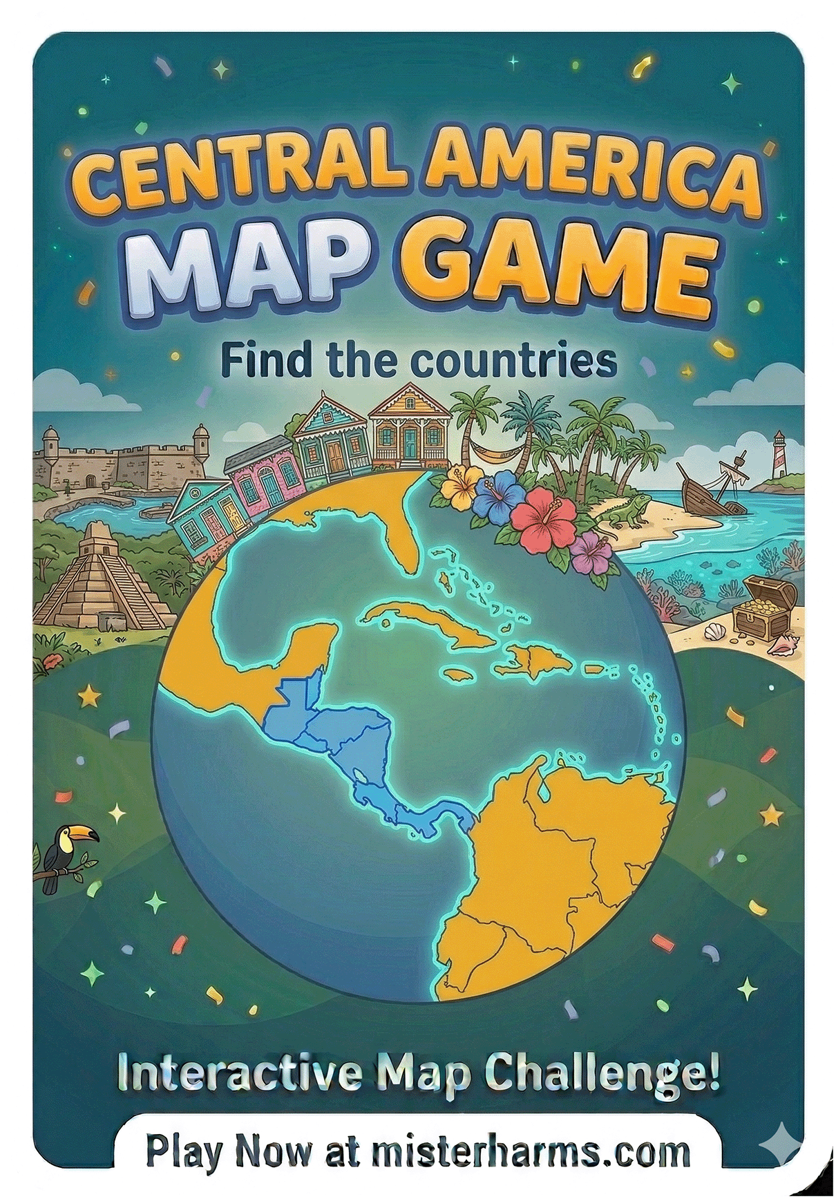
Master the Map: Interactive Central America & Caribbean Game
Welcome to the ultimate Central America and Caribbean Map Challenge! As a classroom teacher with decades of experience, I know that helping students confidently identify the countries along the Central American isthmus and the tiny island nations of the Caribbean takes real practice. That is exactly why I built this interactive, ad-free game.
Whether you are a student preparing for a major geography test, or one of the over 100,000 educators who trust Mister Harms resources in your classroom, this quiz is designed to make learning these 20 countries fun, intuitive, and highly effective—without the distraction of banner ads or pop-ups.
Quick Summary: The Central America & Caribbean Map Challenge
What it is: A free, interactive digital map game to learn the 20 countries of Central America and the Caribbean.
Who it’s for: Middle school, high school, and homeschool students (and adults testing their geography skills!).
The Environment: 100% ad-free so students stay focused on learning.
Game Modes: Three difficulty levels including Multiple Choice, The Map Click, and The Typist.
Special Features: Smart multi-target zoom for Caribbean micro-states, built-in hint radar, and local Personal Best score tracking.
How to Play the Central America Map Game
I designed this game to grow with the student. You can choose from three different difficulty levels depending on your confidence with Central American and Caribbean geography:
Level 1: Multiple Choice (Beginner) Perfect for introducing the region. The game highlights a country on the map, and you choose the correct name from four possible options.
Level 2: The Map Click (Intermediate) The classic map challenge. I give you the name of a country, and you have to find it and click on it. Having trouble locating tiny Caribbean nations like Saint Lucia, Grenada, or Barbados? Don't worry—the game automatically drops a visual hint system of three blue circles and zooms in to help you select the right one!
Level 3: The Typist (Advanced) The ultimate test of mastery. The map highlights a country, and you must type the name correctly from memory.
Countries Included in this Game
This game tests your knowledge of the 20 standard UN-recognized independent nations located south of Mexico and north of South America, including the Caribbean Sea. The game includes the following sovereign countries:
Antigua and Barbuda, Bahamas, Barbados, Belize, Costa Rica, Cuba, Dominica, Dominican Republic, El Salvador, Grenada, Guatemala, Haiti, Honduras, Jamaica, Nicaragua, Panama, Saint Kitts and Nevis, Saint Lucia, Saint Vincent and the Grenadines, and Trinidad and Tobago.
Frequently Asked Questions: Central America Map Game
-
This game is ideal for middle school and high school geography, history, and social studies classes. However, homeschoolers and lifelong learners of any age will find it challenging and fun!
-
No. I believe educational tools should be free from distractions. This map game is completely ad-free, ensuring a safe and focused environment for students.
-
Yes! The map is fully interactive and responsive. You can click with a mouse on a Chromebook or PC, or use touch and pinch-to-zoom on an iPad, tablet, or smartphone.
-
The Caribbean has several "micro-states" that are incredibly hard to click on a full map. In Level 2, the game utilizes a smart zoom and a helpful multiple-choice blue circle system right on the map to make finding these tiny islands fair and frustration-free.
-
To keep this specific geography challenge hyper-focused on the Central American isthmus and the Caribbean islands, the massive bordering nations of Mexico (North America) and Colombia (South America) are excluded. They can be found in their respective regional map games!